| Plan: | Molenbergweg 39 |
|---|---|
| Status: | vastgesteld |
| Plantype: | bestemmingsplan |
| IMRO-idn: | NL.IMRO.0302.BP01054-vg01 |
1.3 Projectgebied
Figuur 2 is en luchtfoto waarop het projectgebied is omlijnd.
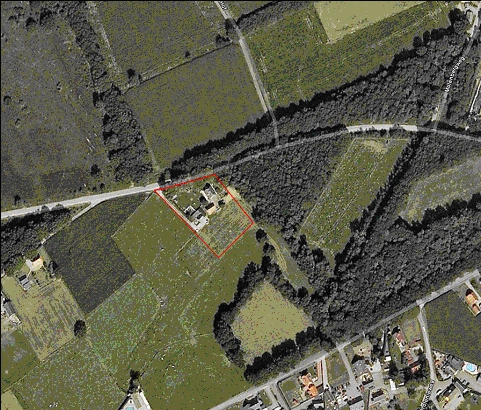
Figuur 2 Ligging project gebied (Bron: Google Earth)