| ontwerp |
| NL.IMRO.0268.PB22W1-ON01 |
1.2 Ligging en begrenzing plangebied
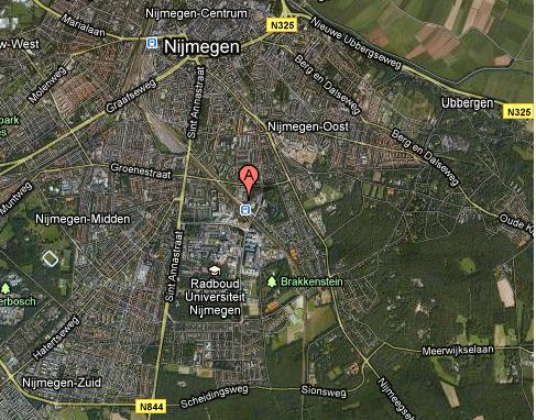
Figuur 1: Globale ligging van het plangebied (in rood). Bron: maps.google.nl
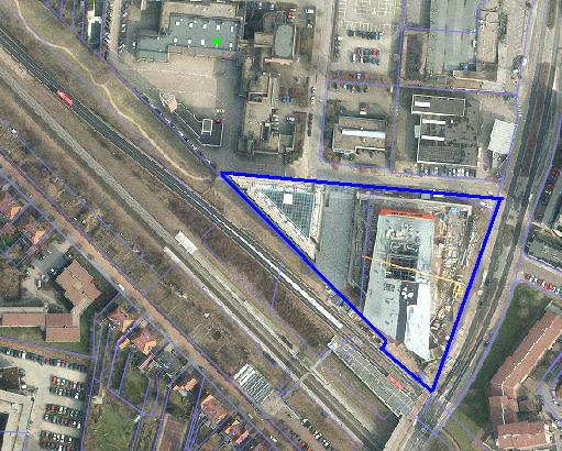
figuur 2: Kadastrale situatie perceel.
| ontwerp |
| NL.IMRO.0268.PB22W1-ON01 |
Figuur 1: Globale ligging van het plangebied (in rood). Bron: maps.google.nl
figuur 2: Kadastrale situatie perceel.